To get in a run at altitude, and for a change of scenery, Ann planned a day-off run for us up on Mt Hood. It was also a chance for us to try out gear for our circumnavigation of Mt Hood: a water pump, folding poles, and food.
 |
| Hot from the start |
We started out near Riley Horse Camp, and ran a dry, sandy trail across the river and onto the Pacific Crest Trail, where the first of three major climbs began.
 |
| Tiny wildflowers |
Bald Mountain was our first summit, which we ran
last August. Of course Ann also ran it
much more recently.
 |
| Crossing the Sandy-- a rare bridge |
I remembered that climb well, so I wasn't surprised when the two and a half miles seemed to really stretch out. At the top of Bald Mountain, the sweeping view of Mt Hood and alpine meadows makes the memory of the climb melt away.
 |
| One of three total bridges |
Then there are the river crossings, which were much easier with the poles. Of course, the
Mt Hood Scramble last year gave us lots of experience crossing snow-melt rivers, but having a pole handy means you don't have to hunt down a stick.
 |
| Lots of orchids in bloom |
Our next climb was up to Paradise Park, which really kicked my butt. I walked most of it. Near the top, parts of it were sandy and wide open, which felt really tough. At the top we saw some snow-- even ran through a bit across the trail-- and had our second picnic. I really needed it, and we were tired enough to be giddy.
 |
| New this year: a rope to make crossing easier |
After a refreshing stretch of downhill, we came to our third and final climb: East Zigzag Mountain. Knowing it was the final uphill, I was able to pull a bit more out, but the altitude really got to me. When we got to the top and enjoyed the spectacular view, I was ready for the final descent to the car.
 |
| A sign of what's to come on the trail up Bald Mountain |
And it was worth it! Although it felt like quite a bit longer than we thought it would, it was nice to
run again. We kept going down, down, down, and looking downhill all we could see were more trees and downhill. Then suddenly, we hit some sand and knew we were close.
 |
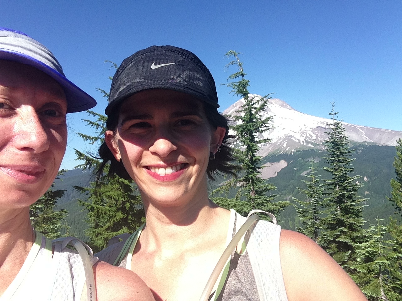
| Ann at the top of Bald Mountain |
We expected to come to a road and have a bit to run to get to the car, but there were no trail signs and the road was gravel-- not what we expected. With the shadows getting long, we stopped to look at the paper and phone maps, picked our direction, and started running again. It was painful at the end to run on road, but as soon as we saw the car we knew we had made it. We celebrated with a stash of orange juice and other goodies and headed home. It was a spectacular way to spend a day off!
 |
| Crossing the Muddy Fork |
- start at sandy river trail head (near riley horse camp)
- east on Sandy River Trail / Trail 770 - 3.4 miles
- left on PCT - 2.4 miles
- right on Timberline trail / Trail 600 - 10.9 miles
- (add on Continue on Timberline to Hidden lake trail / trail 779 and turn around - 4.6 miles)
- right on Paradise Park Trail / Trail 778 - .2 miles
- right on Zigzag Mt Trail / Trail 775 - 3.9 miles
- right on Cast Creek Trail / Trail 773 - 4.2 miles
 |
| Susan enjoying a snack after our 2nd Muddy Fork crossing |
 |
| Frog! |
 |
| The top of our 2nd climb to the Paradise Park Trail |
 |
| Snow at 6000 feet |
 |
| Running up to Paradise Park |
 |
| The top of East Zigzag mountain our 3rd and final ascent. |
 |
Alpine meadow views
|


Comments
Post a Comment